PIT-GEOLAB
About us
PIT-GEOLAB has two missions. First, it supports the environmental research carried out by the research teams of the laboratory GEOLAB (UMR 6042 CNRS/UCA/UL). Second, it develops a specific methodological research for innovation in the field of environmental instrumentation (e.g. sensor networks) and geomatic processing (e.g. tools to help the detection and analysis of LiDAR).
Our services
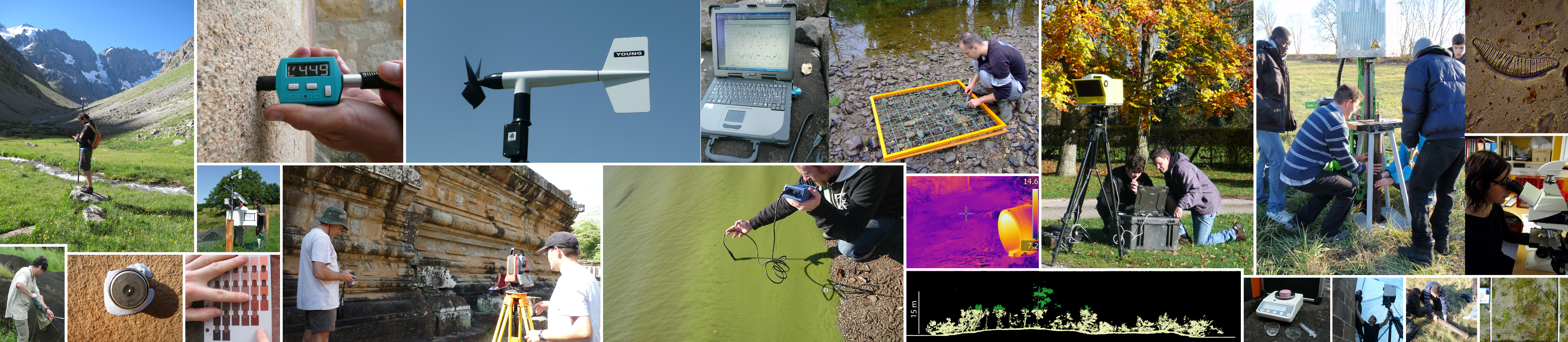
PIT-GEOLAB offers the rental of equipment for 3D scanning (lasergrammetry), topography, bathymetry, GIS-oriented GPS and particle size analysis. The analyses are carried out autonomously by competent users. Otherwise, the hiring of a platform staff and / or training of the user is charged additionally and will dependent on their availability (please contact us).
Equipments
3D Scanner
- Optech Ilris 3D scanning (long range)
- Konica Minolta 3D scanning (short range)
- DPGS Leica 500
- Total station Pentax W800
- Telemeter laser Impulse200
- Reson Navisound Sonar
- GPS Trimble GEO7x
- GPS Trimble GEOXH
- Optical granulometer Laser LS230
- Sieve analysis of particle size distribution
- Computing station Dell
- Rugged laptop Kontron
Contacts
Address
GEOLAB UMR 6042
4 rue Ledru 63057 Clermont-Ferrand cedex 1
France
4 rue Ledru 63057 Clermont-Ferrand cedex 1
France